![italiano [Beta]](http://www.escursionista.org/manzanita-theme/images/spacer.png "italiano [Beta]")
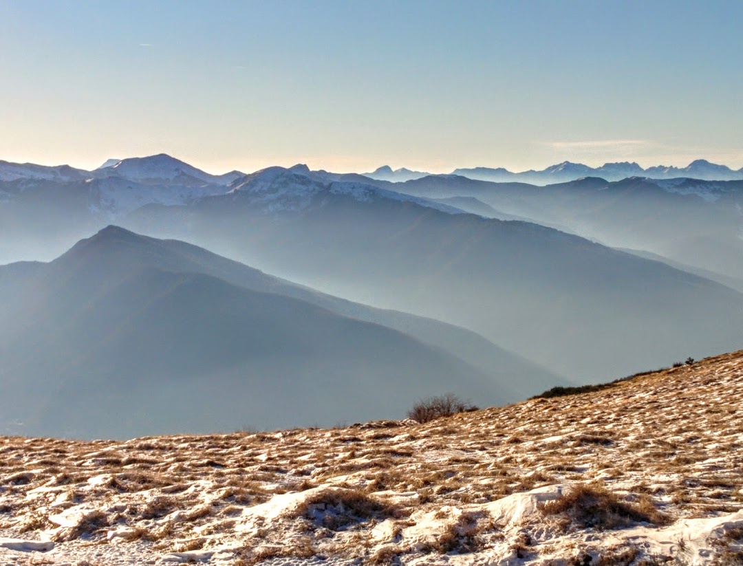
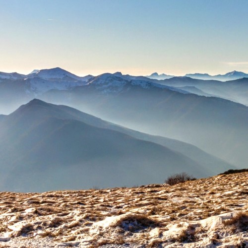
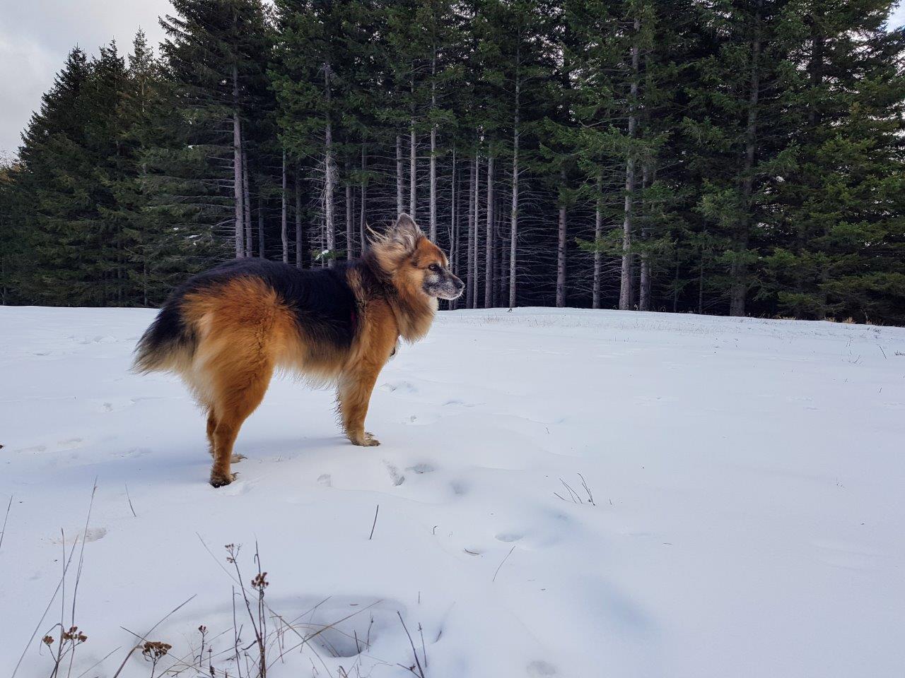
Monte Cimone from the Lago della Ninfa
Monte Cimone from the Lago della Ninfa
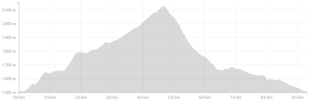
Profilo altimetrico
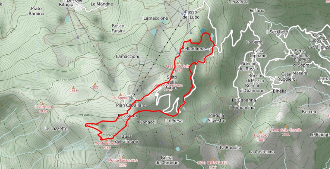
Mappa
Avvicinamento
Descrizione itinerario
From the beautiful Lago della Ninfa, one has to move on Rifugio Ninfa and leads straight to the CAI path 449 towards "Cimone".
The trail is marked with classic tracks of cai (red and white), but it is also reported with other colors, white and blue, and how the municipal trail number 11.
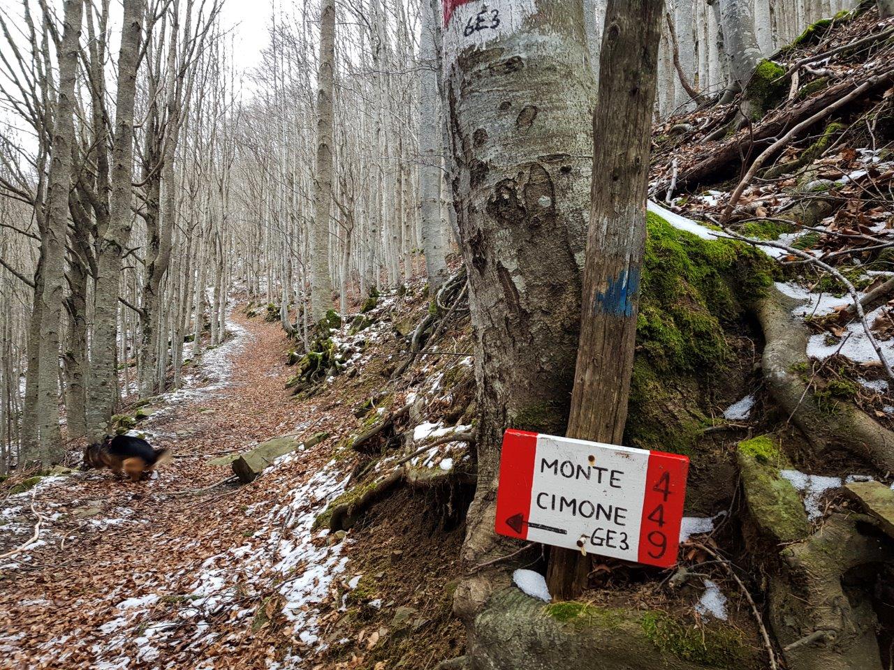
We follow the 449 and begin to gain altitude.
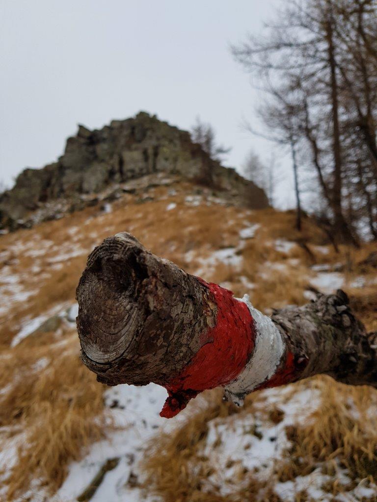
At some point there is a variant on "expert hikers" and meets a vertical line with the rocks on which you do a little 'climbing, nothing really difficult, but for those afraid of heights or when there is ice, better be careful.
I found a nice diversion and jumped straight for the variant
Once past the arrival of the plants a sign warns that the path is considered "High Mountain" and points out the need to pay attention.
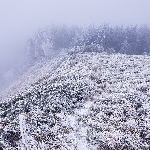
In fact, the path becomes steeper and restinge.
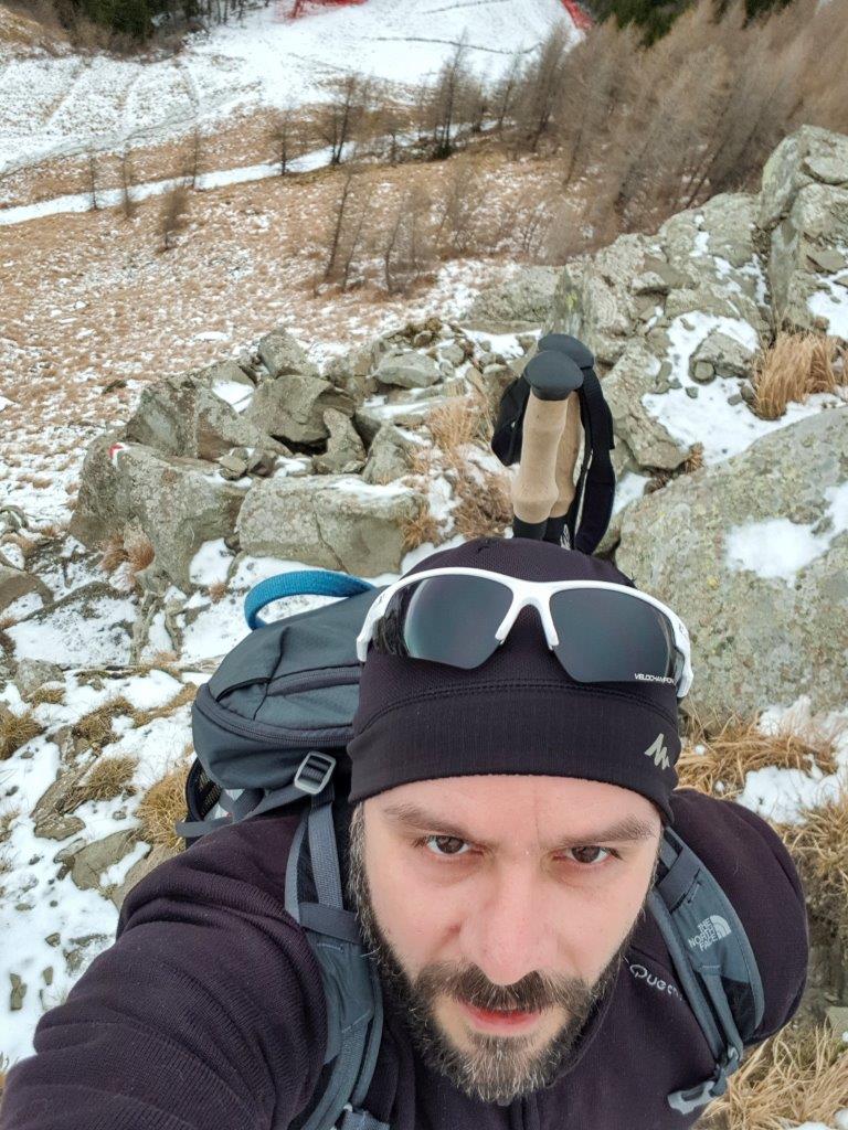
I met snow and a little 'ice, but I have not even pulled out your crampons (which always recommend).
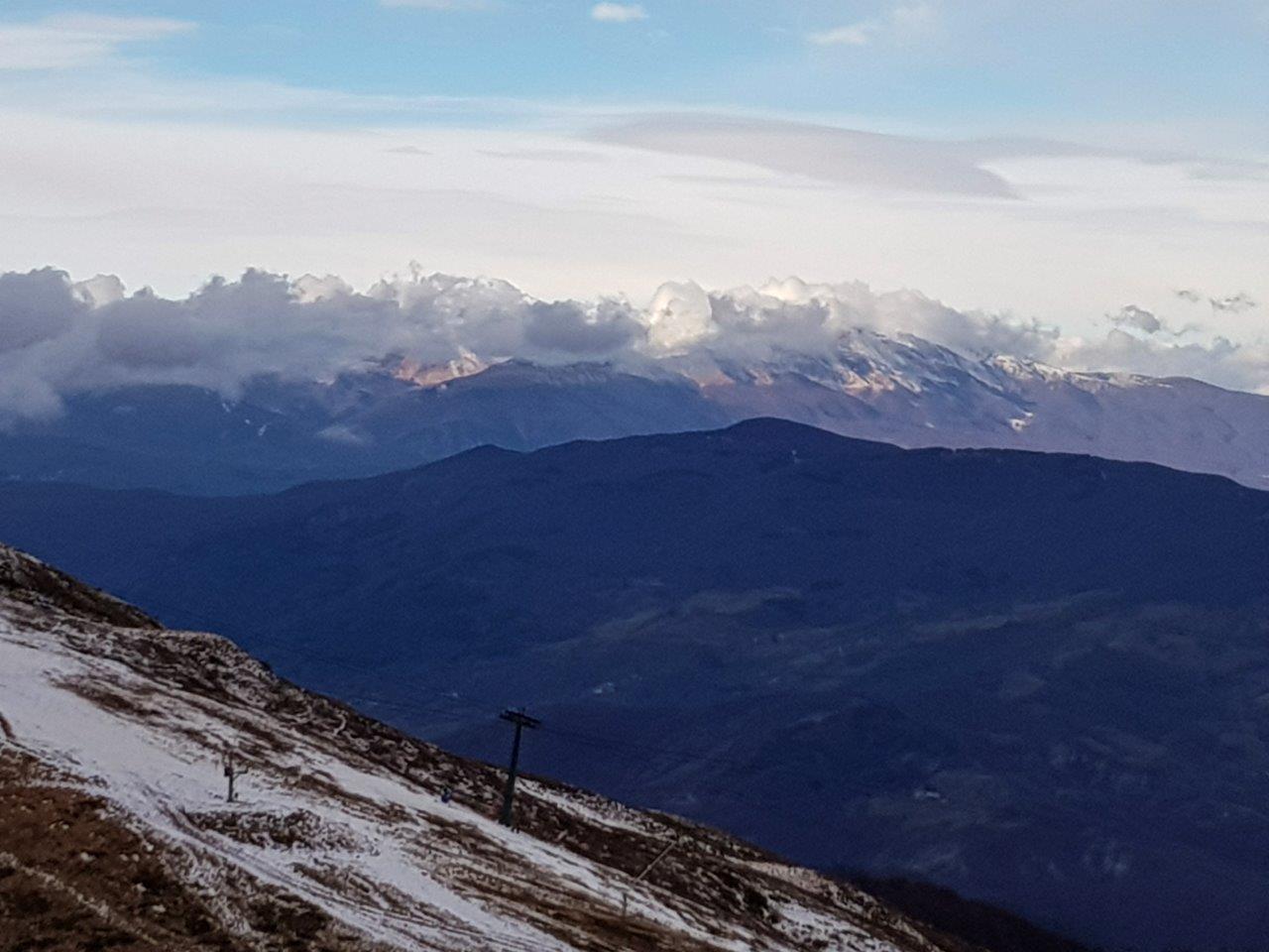
The ridge
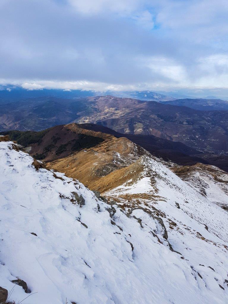
We are over 2000m above sea level and the wind starts blowing really strong.
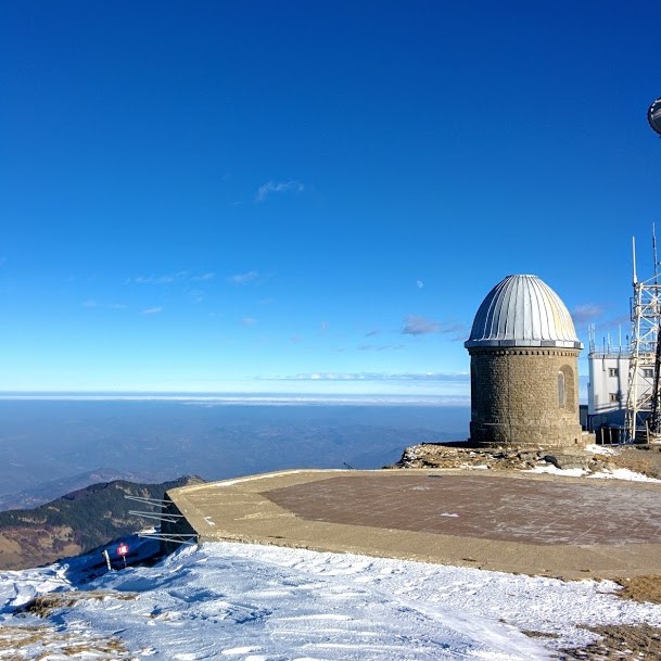
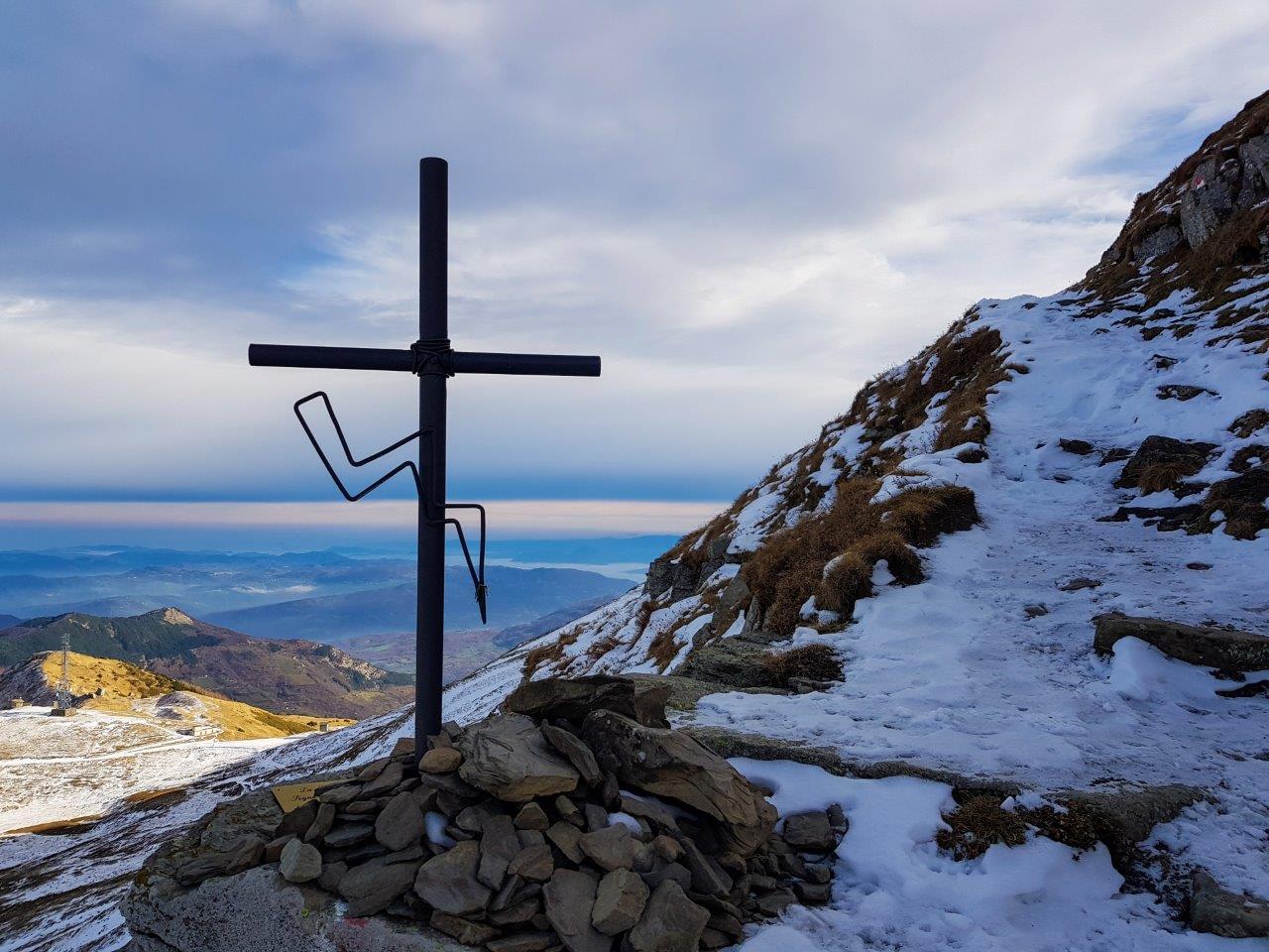
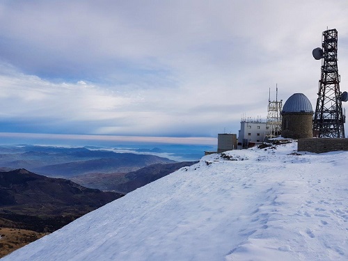
With the latest sfrorzi and always following the path CAI 449 reach the summit where there is a weather station
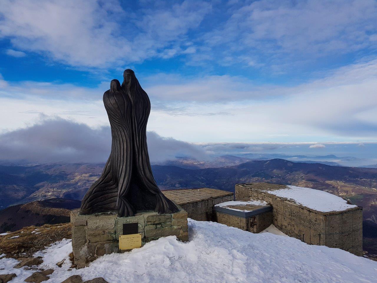
And it statao a statue at the summit which offers a great view.
We stop in order to have a snack and a drink and then take the path CAI 441 towards the Nymph Lake also reported as 13 municipal trail.
The descent is pretty tough and there are jumps, so you have to pay a bit 'of attention, but you lose altitude very quickly.
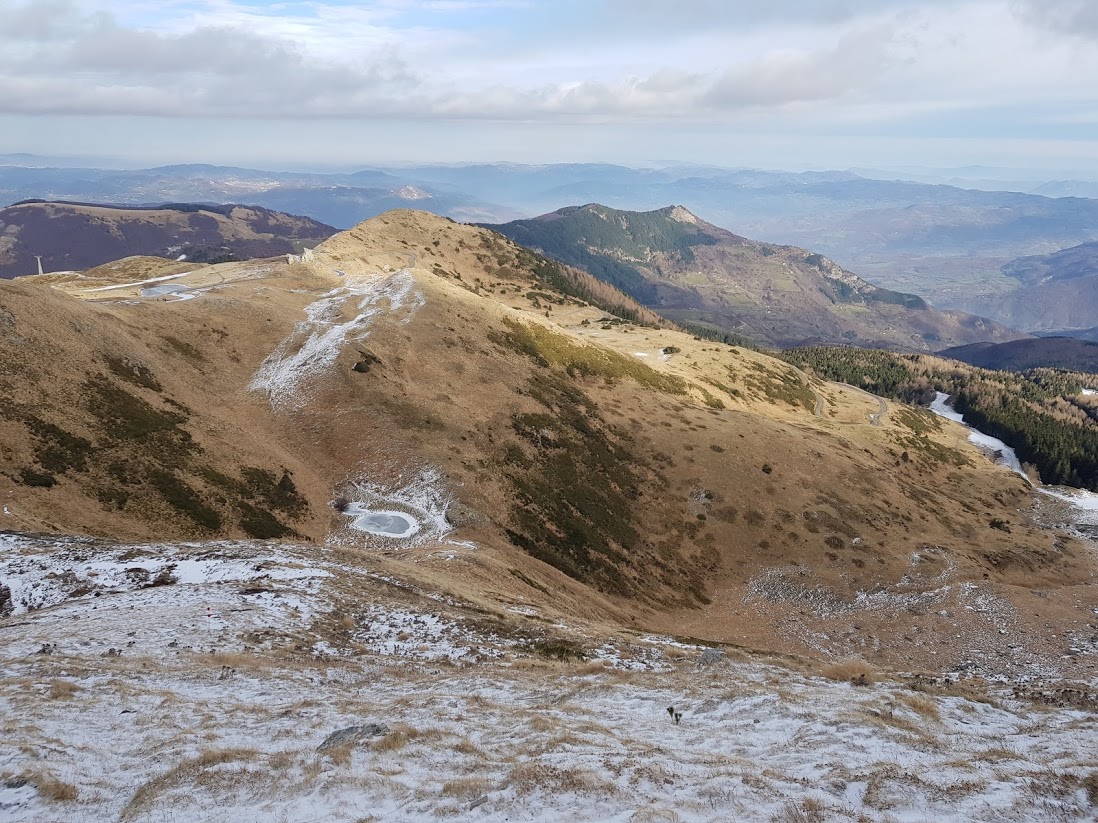
It passes close to the Lago dei Bagni, which was frozen solid and then by Fontana Bedini (fountain) where you can do water supply.
Proceeds all right until we cross the ski slope, at which point an arrow indicating the direction to the right, but checking the map and checking the GPS, I am convinced that is not the case and take it to the left where I find the correct path to the Lago della Ninfa.
Gallery